
Welcome To Perpetual Drone - Aerial Data Services


Our
Services
-
Construction Progression Reports
Track your job site over time with consistent, high-altitude drone imagery. Get clean orthomosaic maps and visual updates for OAC meetings or stakeholder reviews.
🔹 Deliverable: Weekly or biweekly site image set + optional PDF summary
-
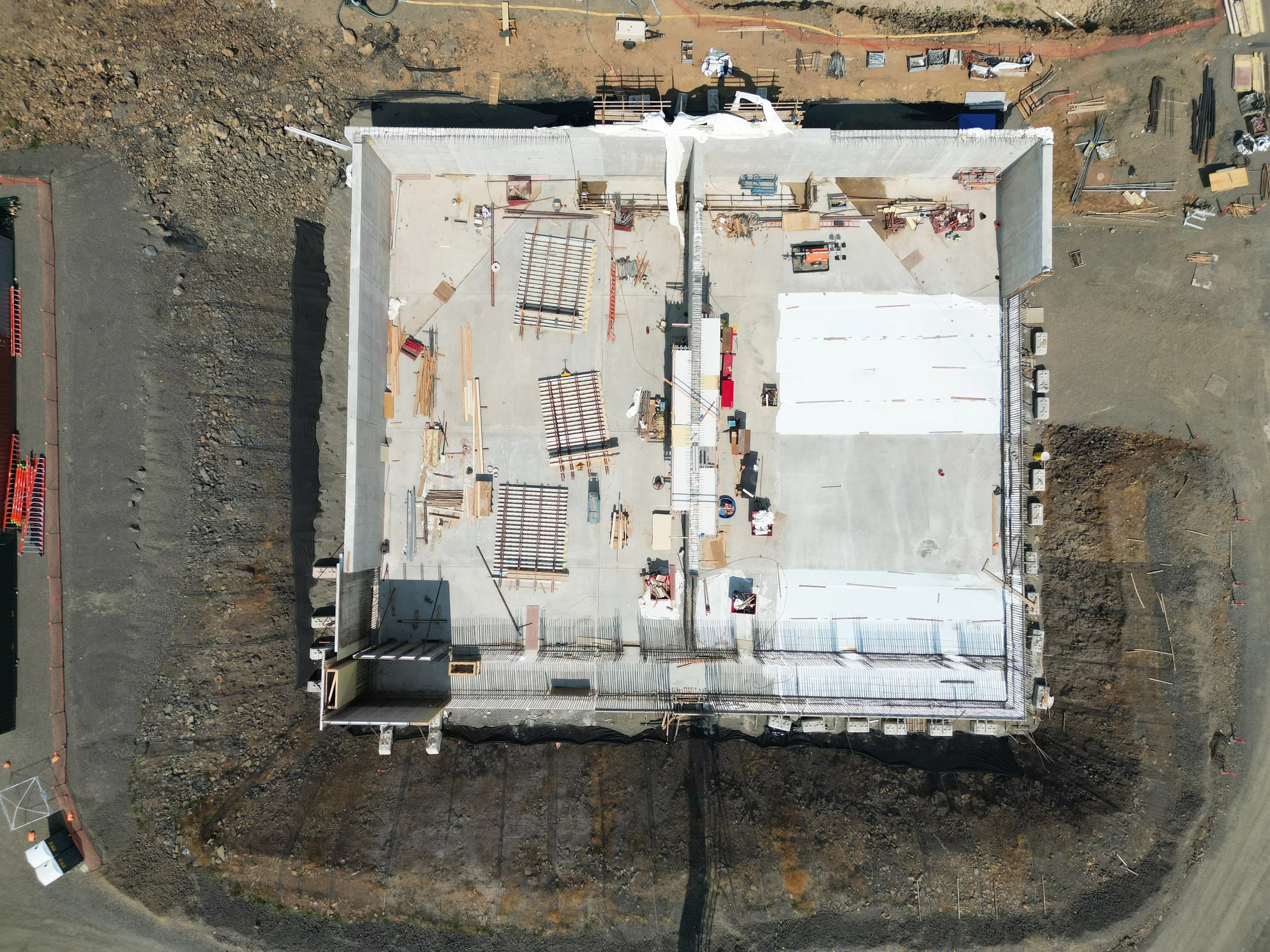
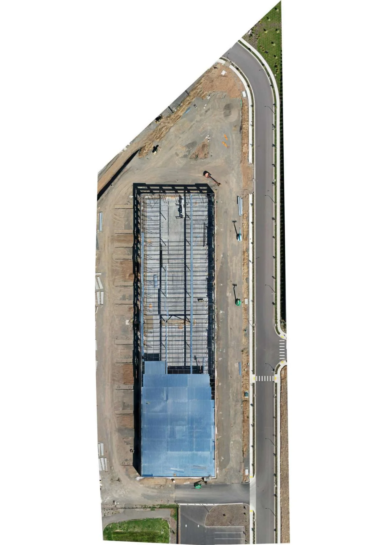
2D Orthomosaics
Get a full-site top-down image stitched from dozens of high-resolution photos.
Perfect for viewing layout changes, planning, and documenting property conditions.🔹 Deliverable: JPG/PNG map + optional viewer link
-
3D Visual Modeling
We offer 3D digital models using drone-captured data. Useful for visualizing site context or showcasing existing structures.
🔹 Deliverable: 3D viewer link or screen-captured walkthrough
-
Roof Inspections
Aerial inspections for residential and commercial roofs.
We capture clear, high-resolution images from multiple angles — ideal for storm damage, insurance claims, and routine assessments.🔹 Deliverable: Branded PDF report with overview + oblique imagery
Track Your Project from Every Angle
Keep stakeholders updated, document milestones and show your work with professional serial videos, interactive 3D models, and interior walkthroughs - all delivered in a secure online portal.
Client:
Your name here
Date:
01/08/2025


Our
Projects
-
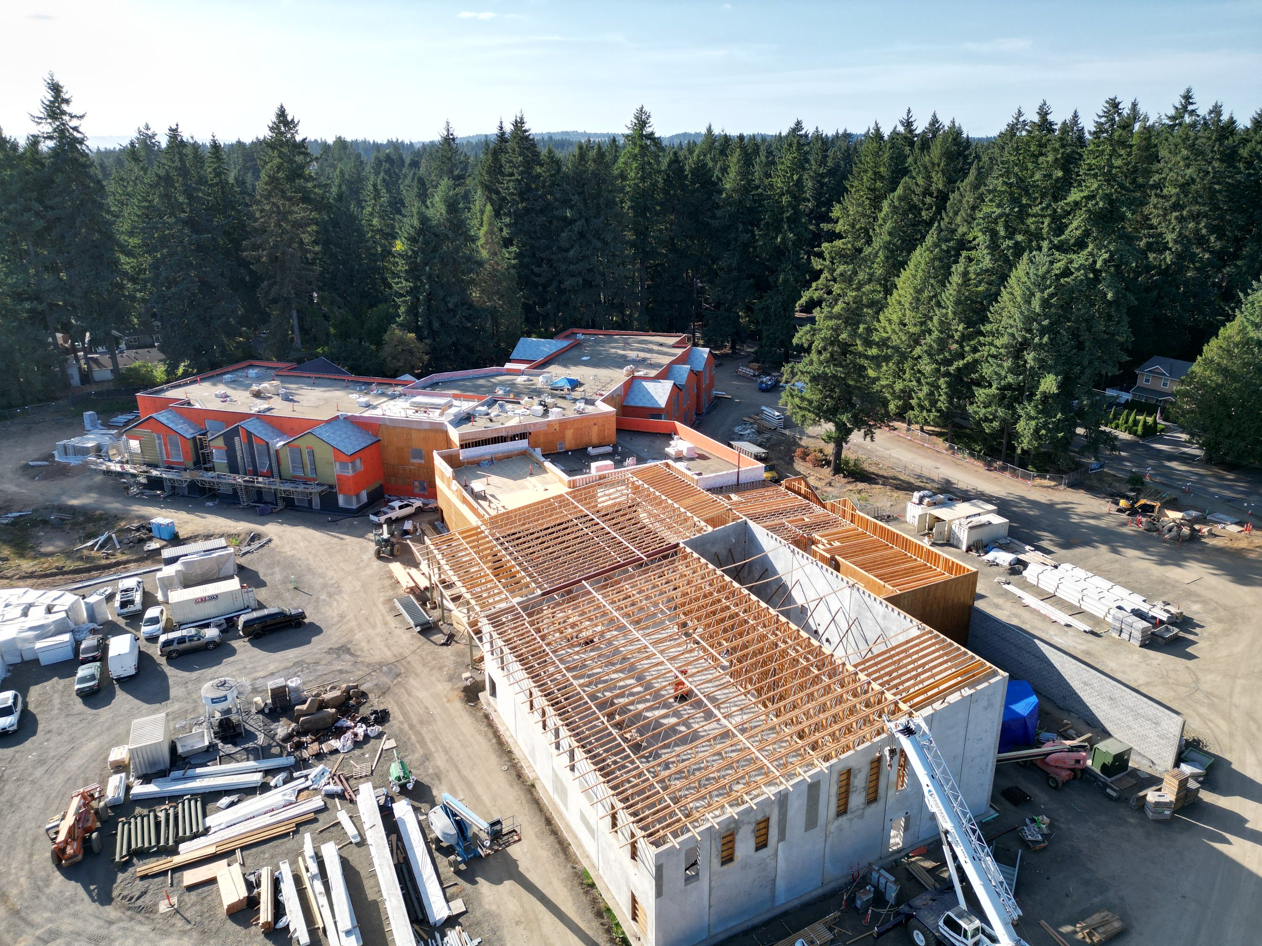
![Truss Inspection]()
Truss Inspection
-
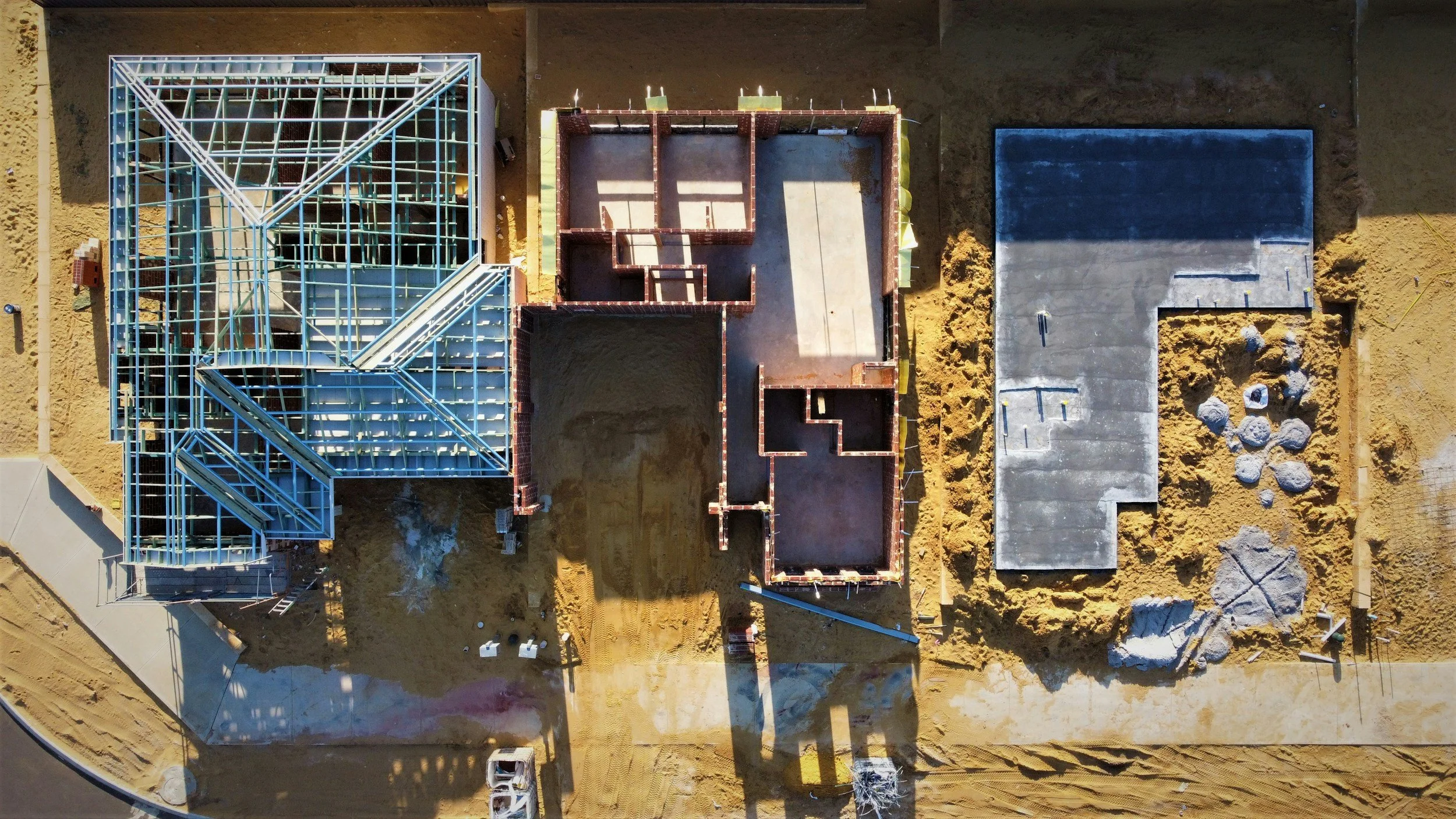
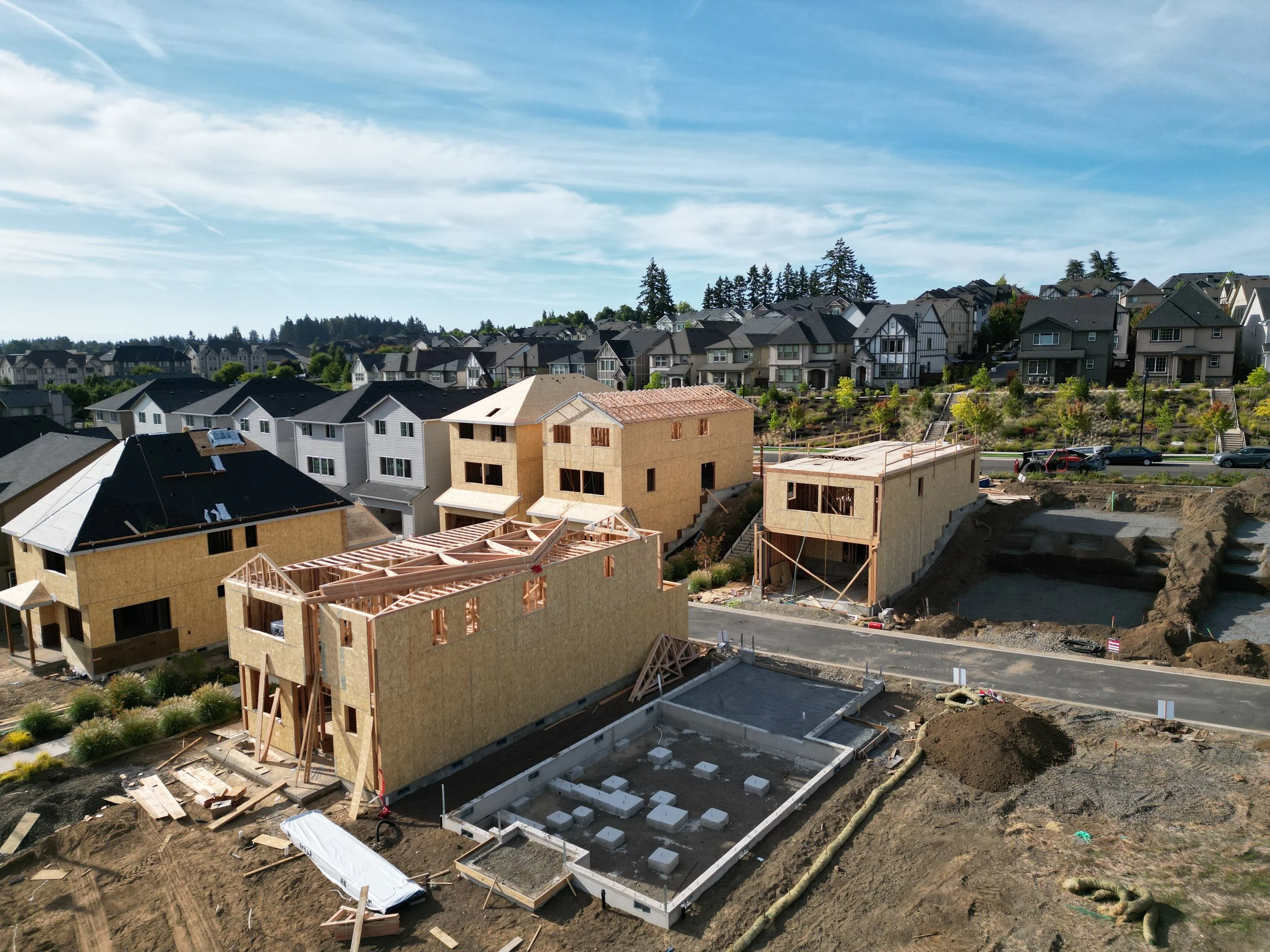
![Project Aerial View]()
Project Aerial View
-
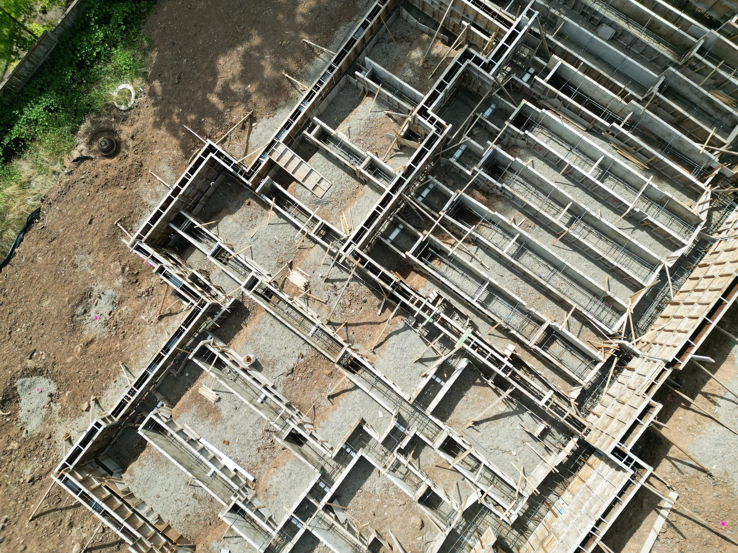
![Foundation Form Inspection]()
Foundation Form Inspection
-
![Ortho Building Map]()
Ortho Building Map
-
![Oranssi project: slat roof]()
SLAT ROOF


Show your project’s progress from a whole different new angle. Our aerial flyovers capture the full scope of your site, making it easy to share updates, impress stakeholders, and document every stage of construction.
Construction Video Flyover
“See you projects like never before”
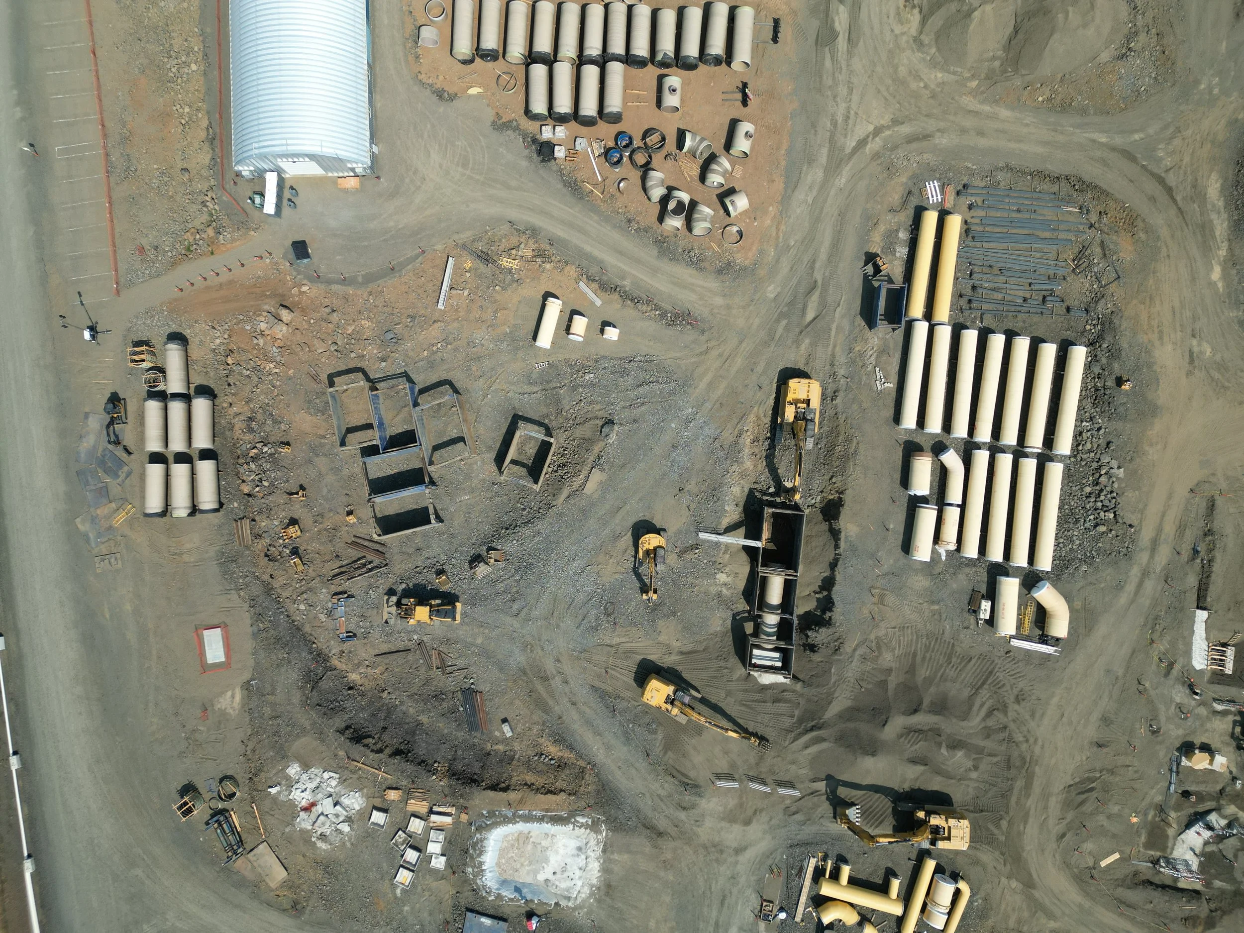
Aerial Construction Photos
From straight-down overviews to angled oblique shots, aerial images give you a clear picture of progress, safety, and site conditions. They help project mangers track work, spot potential issues early, and document milestones for clients and stakeholders. Whether planning, reporting or marketing, these perspectives provide insights you just can’t get from the ground.
